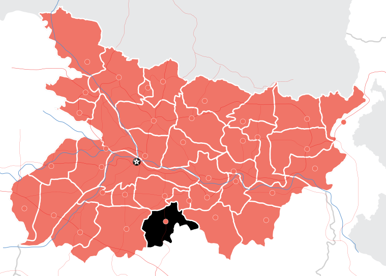
About Nawada
 Source: en.wikipedia.org Source: www.mapsofindia.com
- Location: Southern part of Bihar, neighbouring Gaya and Nalanda; 100 km south of Patna
- Area: 2,494 square km
- Total population (2011 Census): 22, 19, 146
- Male population: 11, 44, 668
- Female population: 10, 74, 478
- Literacy Rate: 61.63% (Bihar: 64%, National: 74%)
- Population density: 890/square km
- Sex Ratio (Number of females per 1000 males): 939
- Languages: Magahi, Hindi, Urdu
- Administrative Headquarters: Nawada Town
- Sub-divisions: 2; Nawada and Rajauli
- Development Blocks: 14
- Number of Villages: 1086
- People dependent on agriculture: 78%
- Major occupations: Rain-fed agriculture, animal husbandry and casual labour
- Number of primary schools: 851
- Number of secondary schools: 113
- Number of high schools: 77
- Health facilities in Nawada: District Hospital – 1, Sub-District Hospitals – 2, Referral Hospitals – 2, Block Primary Health Centres – 14
- Population below poverty line: 34% (Bihar: 30%, National: 26%)
- Households not having drinking water access within premises: 57%
- Households having latrine facility within premises: 22.3%
- Underweight Children (< 5 Years) – 45.9% (Year 2015)
For more information please visit the following website:
https://en.wikipedia.org/wiki/Nawada
Source: http://164.100.130.11:8091/pip2012-13/districthealthactionplan/Nawada.pdf http://www.mdws.gov.in/sites/default/files/Environmental_Assessment_and_Environmental_Management_Framework_0.pdf censusindia.gov.in/datagov/hh/NW-H30-HH3008T.xls http://socialjustice.nic.in/writereaddata/UploadFile/3546statutorytowns.pdf http://ebrary.ifpri.org/utils/getfile/collection/p15738coll2/id/130632/filename/130845.pdf http://www.censusindia.gov.in/2011census/HLO/HL_PCA/Houselisting-housing-BR.html http://www.censusindia.gov.in/2011census/dchb/1035_PART_B_DCHB_NAWADA.pdf